
 Version 7.5 Preview
Version 7.5 of the DAT/EM Software Suite is almost available. We are excited to share a preview of a few things to look forward to in the next release:
 DAT/EM Photogrammetric Suite Version 7.4 Now Available
The time has come! The DAT/EM Photogrammetric Suite version 7.4 is now available. This exciting release includes a beta version of DAT/EM Point Cloud VR, updated project import compatibility for Summit Evolution
 Version 7.3 released!
DAT/EM Systems International® announces the release of the 7.3 edition of DAT/EM software products. The updates include the flagship programs Summit Evolution™ 3D photogrammetric workstation and LandScape™ 3D point cloud viewing and editing software. Also updated is Capture™, which links Summit Evolution and LandScape to third party programs ArcGIS® and ArcGIS Pro, AutoCAD®, Global Mapper® and MicroStation®. The advances in the 7.3 DAT/EM Photogrammetric Suite represent the latest evolution in technology and are based on customer input and growth within the geospatial industry.
 SimActive Used for Mapping Construction Projects
SimActive announces the use of its Correlator3D™ product in the mapping of large construction projects by US firm Bullseye Construction. The software allows for the creation of accurate map products including DSMs, point clouds and orthomosaics.
 SimActive Used for Mapping in New Zealand
SimActive Inc. announces the use of its Correlator3D™ product used by GMAPSNZ in New Zealand. The software allows for the creation of accurate map products in New Zealand’s challenging terrain and environment.
 Cloud Computing Continues to Boost Photogrammetry Services
Two decades ago, SimActive introduced a gamechanger in photogrammetry processing when it transformed methods from the video and gaming industry for use in the geoinformatics sector. Today, the company is still at the forefront of innovation, developing efficient ways to process remote sensing data into fit-for-use geospatial information.
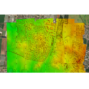
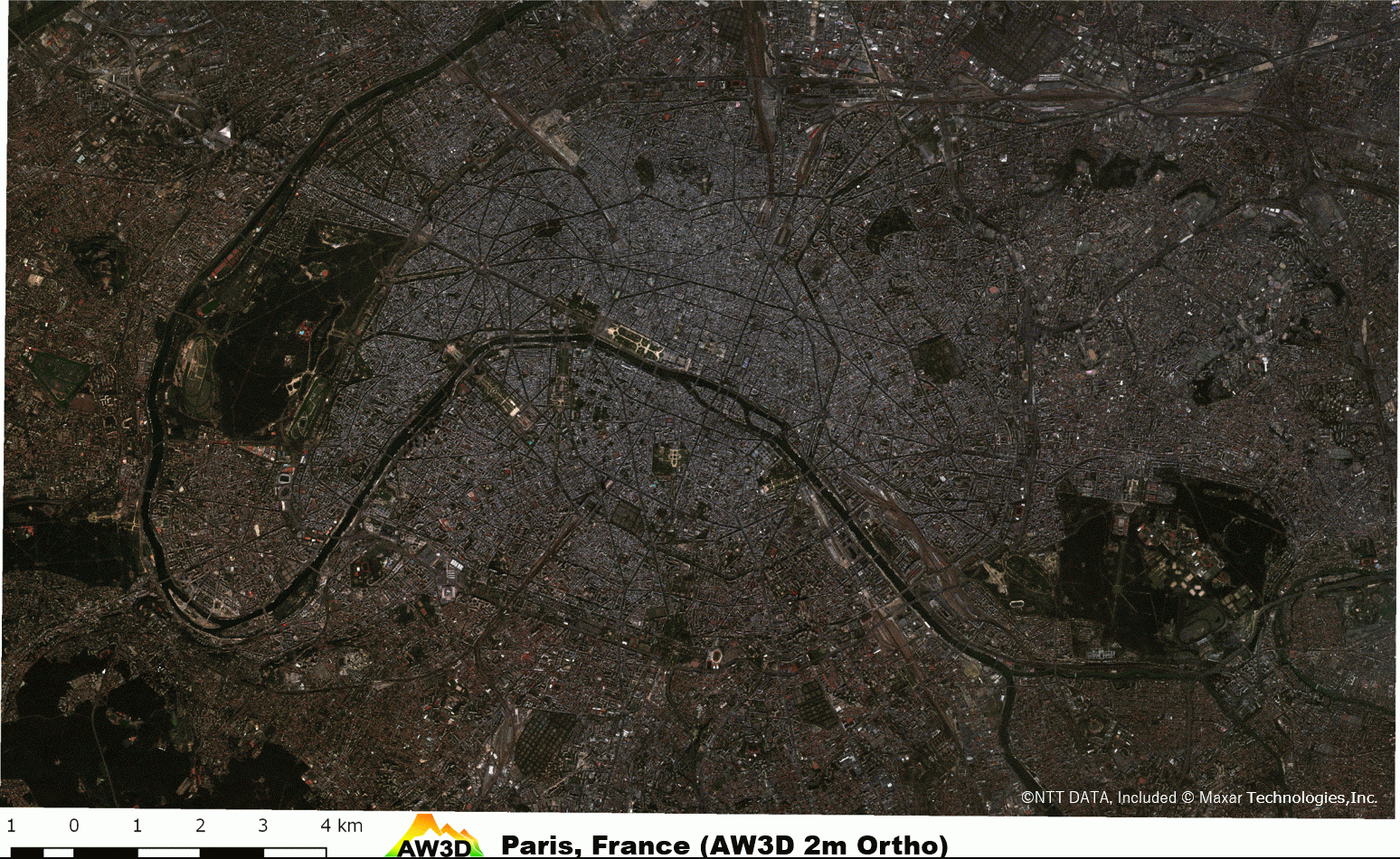 Advantages of Combining AW3D DEM and Ortho Imagery
At AW3D, while we are well-known for our 3D data offerings, did you know we also provide high-quality AW3D Ortho imagery? This month, we want to highlight the advantages of using Digital Elevation Models (DEM) and ortho imagery together. Combining these two data sets unlock numerous benefits for various applications.
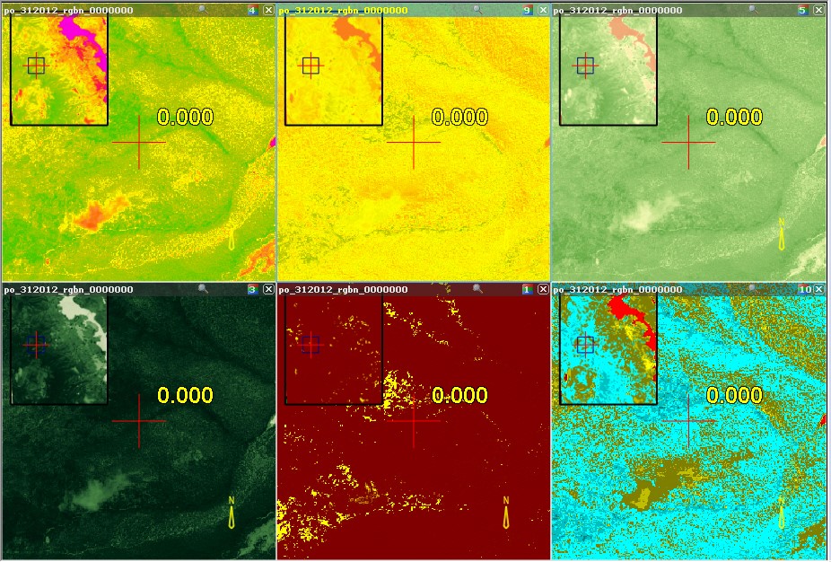
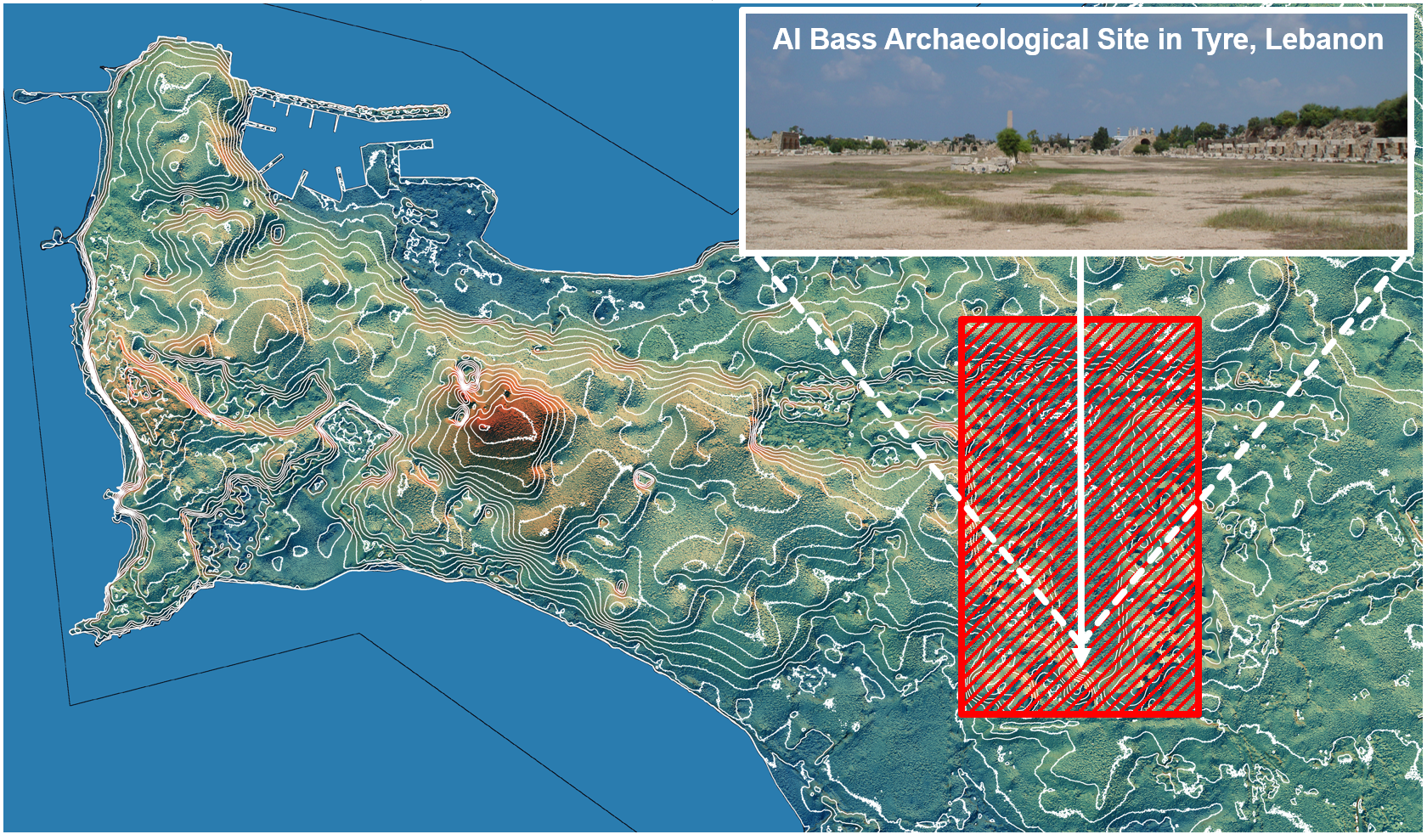 Archaeological Research of Buried Mausoleums in Conflict Areas – Al Bass site, Tyre, Lebanon
Remote sensing plays a crucial role in modern archaeological research. Slope and Aspect, calculated from AW3D Enhanced DTM (0.5m), empower archaeologists to observe subtle elevation differences that are difficult to discern on-site.
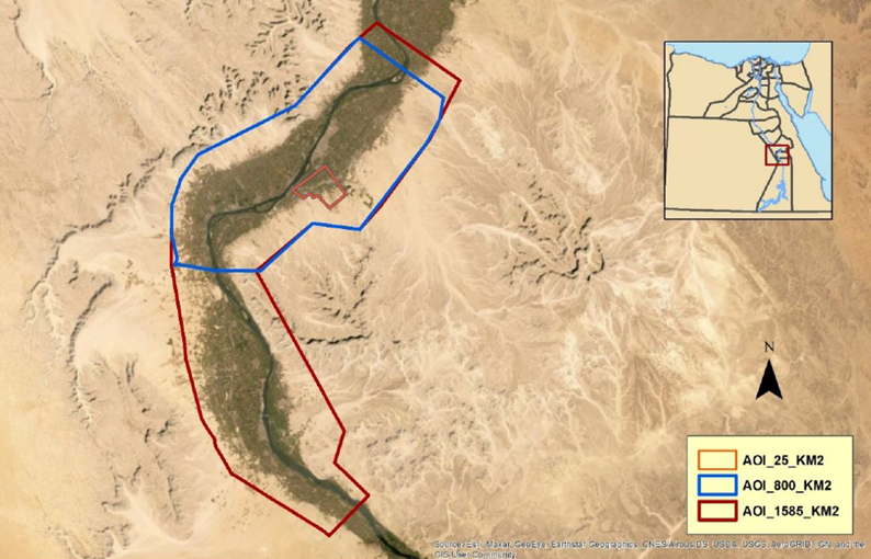 The Latest Case Study from WFP's Transformative Agricultural Development Initiatives
We’re excited to share our latest case study from the World Food Programme (WFP) Egypt, a collaboration with the Egyptian government to enhance agricultural productivity in 60 villages in Upper Egypt. A crucial initiative focused on agricultural land consolidation and irrigation in Boghdadi village, Luxor governorate, along the Nile River.